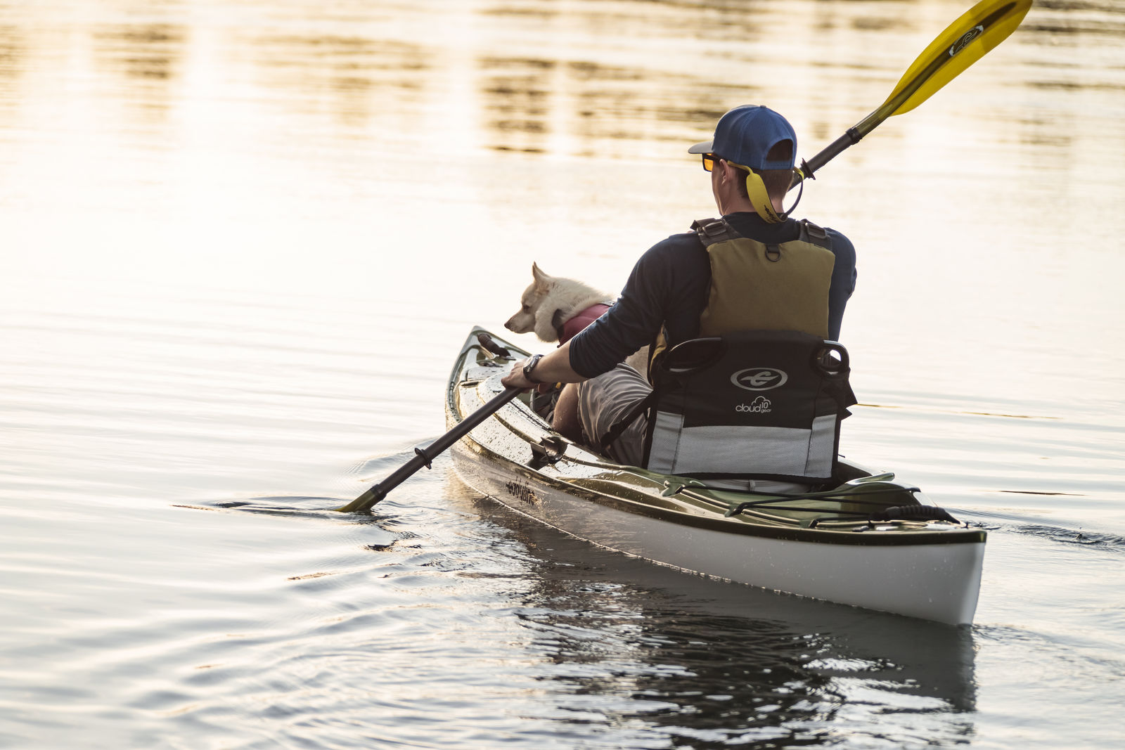
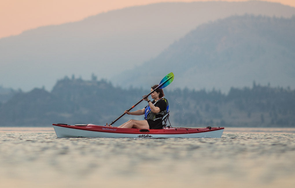
Trip Report: Upper Deschutes River, Oregon
Draining the eastside of the Cascade Range in Oregon, the Deschutes River flows to the north, off the flanks of Mount Bachelor. Along its uppermost reaches there are many stretches of the Deschutes that kayakers choose to paddle. Check out the
Deschutes Paddle Trail River Guide for details on how to access each stretch and notes on dangers to avoid. All the stretches suggested for paddling below are intended to be shuttled which means you paddle down-river only. None of the stretches mentioned contain any rapids, however several contain mandatory portages and new-fallen snags are common. It is possible to string all of these stretches together for a grand multi-day kayaking adventure or explore them piecewise, one at a time. Whatever floats your boat!
 Upper Deschutes River (UDR), Tenino boat launch to Wyeth Campground
9 river miles
Exiting from the dam at Wickiup, this is where the Deschutes first takes shape as a navigable river. The river lazily winds through conifer forest and the occasional riverside campground or home, however the majority of land belongs to Deschutes National Forest. Look forward to clear water, fish jumping, birds singing and diving, and lots of outcrops in the riverbank from erosion. Paddlers enjoy visually examining the layers of volcanic ash deposits.

UDR, Pringle Falls Campground to LaPine State Park
7 miles
Between Wyeth Campground and Pringle Falls Campground, a portage is required at Pringle Falls, an unnavigable lava rock cascade. This stretch has a second portage just past half way at
Tetherow Logjam (see this link for a Youtube scout). Just downstream of the logs are a set of class two rapids, put back in
below the rapids. This stretch offers the most remote feel of any recommended herein. For a little more detail of the section between Pringle Falls Campground and Big River Campground, check out
American Whitewaters detailed trip report.

UDR, LaPine State Park to Big River Campground
9 miles
Starting at
LaPine State Park the Deschutes River eases up into repeated, maze-like meanders and oxbows until it reaches
Big River Campground. Enjoy checking out cabins and dispersed rustic homes along the path of the river. It isn’t uncommon to see deer, muskrat, and many types of waterfowl along this stretch. This section is a more common paddle for locals than the uppermost reaches previously mentioned.

UDR, Big River Campground to Hapner Bridge or Besson Day Use area
7 miles (with potential for bonus paddling)
Paddling through Sunriver is a fun treat. In mid-summer on the weekends, note that parking lots at put-ins and takeouts can become crowded, as well as the river route. Many will be floating on tubes. Just below
Besson Day Use area is
Sunriver Marina where paddling questions can be asked and rental equipment can be obtained.

UDR, Besson Day Use area to Sunriver Canoe Takeout
7 miles
This stretch is also highly trafficked by tubers in peak season. Early mornings or evenings are best in summer months and it’s wide open anytime in the fall and spring.
*We know you love the river as much as we do! To show your love and protect the Deschutes River for generations to come, practice
leave no trace principles while you visit and check out other local stewardship initiatives you can practice through the
Upper Deschutes Watershed Coalition and
Enjoy Protect Respect. Happy paddling and see you on the river!